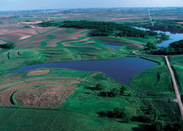
The Agricultural Conservation Planning Framework (ACPF) is a versatile tool enabling communities across the U.S. to improve the health of their waterways. The tool was developed through two CIG awards to the Environmental Defense Fund (EDF), the first in 2011 and the second in 2016. The original goal of the main project partners, EDF and the Agricultural Research Service (ARS), was to integrate precision conservation and improved technical information into a freely available watershed planning tool. ACPF has embraced government agencies and non-governmental organizations as an effective tool for improving watershed health.
ACPF creates a flexible framework for conservation planners through modeling of multiple conservation scenarios that can hypothetically limit the movement of nutrients and test approaches to minimize the potential nutrients to pollute waterbodies. Built as a geographic analysis program in GIS, ACPF can identify a suite of conservation practices that are suitable for a given area of land that range in scale from a single farm to a watershed. Practices included in the model can be customized to local preferences and economic tools and stakeholder feedback can also be incorporated. The flexible nature of the ACPF allows conservation planners to target conservation practices that will most effectively improve water quality and then share this information with communities, conservation planners, and producers.
Following the expiration of the CIG projects, continued development and maintenance of ACPF has been supported by an interagency agreement between NRCS and ARS. ACPF is currently in use in hundreds of watersheds. ACPF data is available for Illinois, Iowa, Minnesota, and Wisconsin and parts of Indiana, Kansas, Missouri, Nebraska, North Dakota, and South Dakota. A pilot project is underway to expand the use of ACPF into the Western Lake Erie Basin.
The latest version of ACPF (Version 3) just launched in September 2018 and includes the capability to incorporate lakes and wide rivers into the stream delineation process, a new method for riparian discretization, and utilities that allow users to build ACPF soils and land use databases.
To learn more about the tool and download the latest version please visit the ACPF website.
